Classic San Francisco views
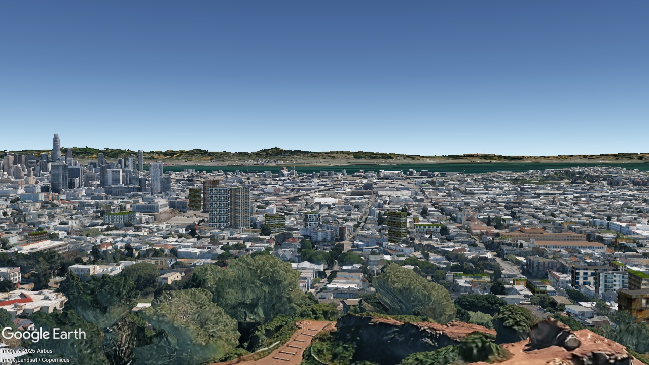
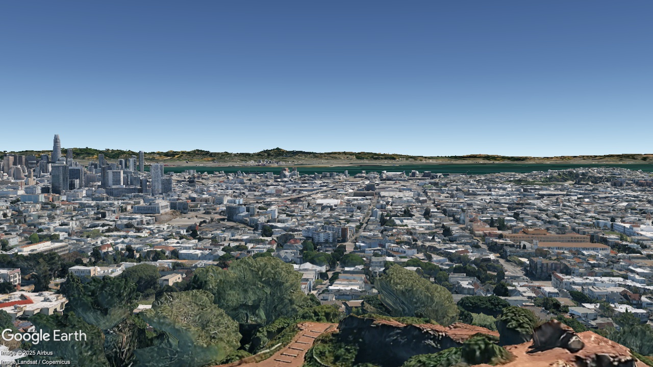
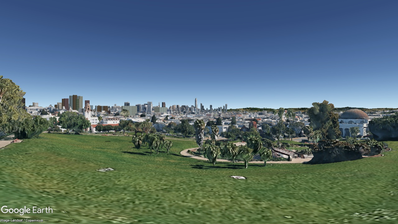
Dolores Park, looking Northeast
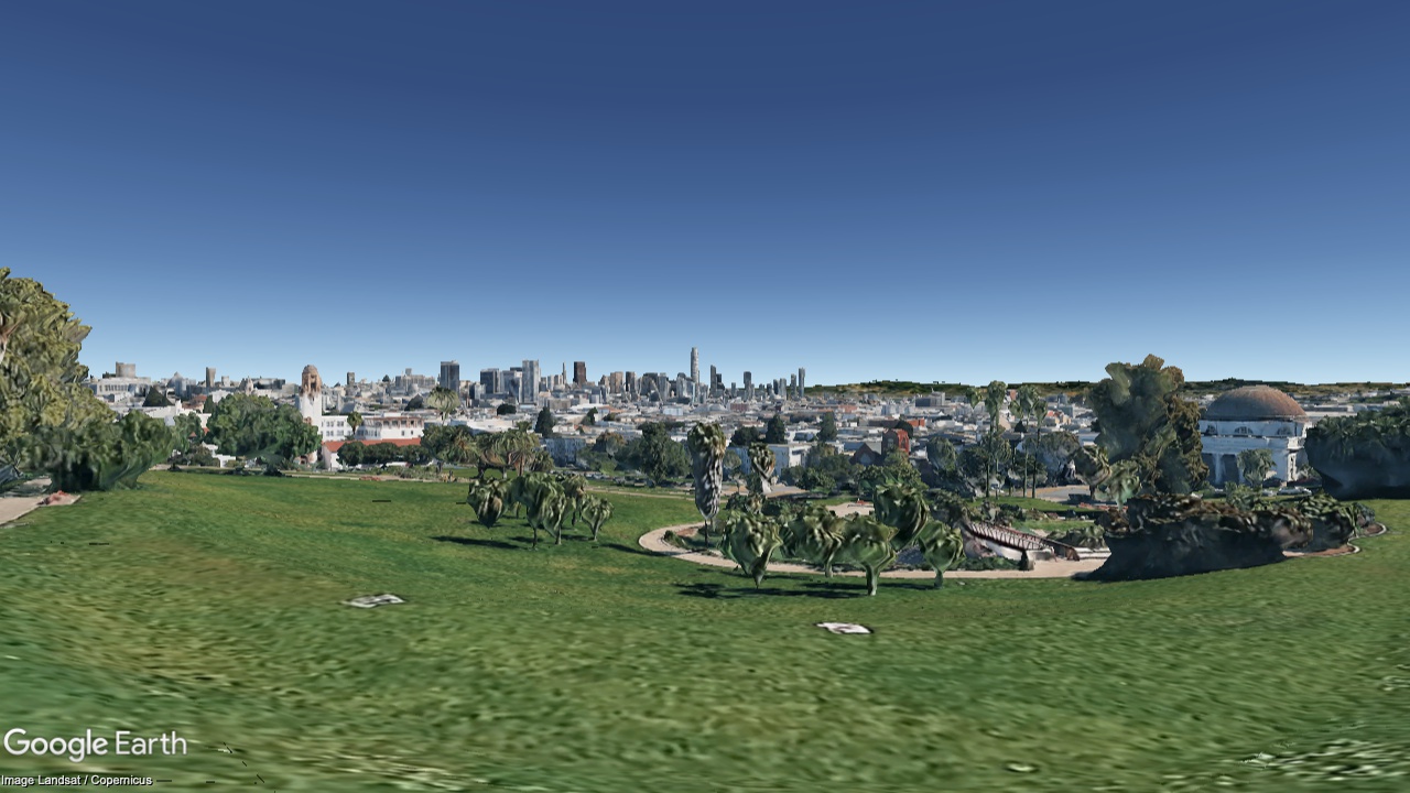
2036
Now
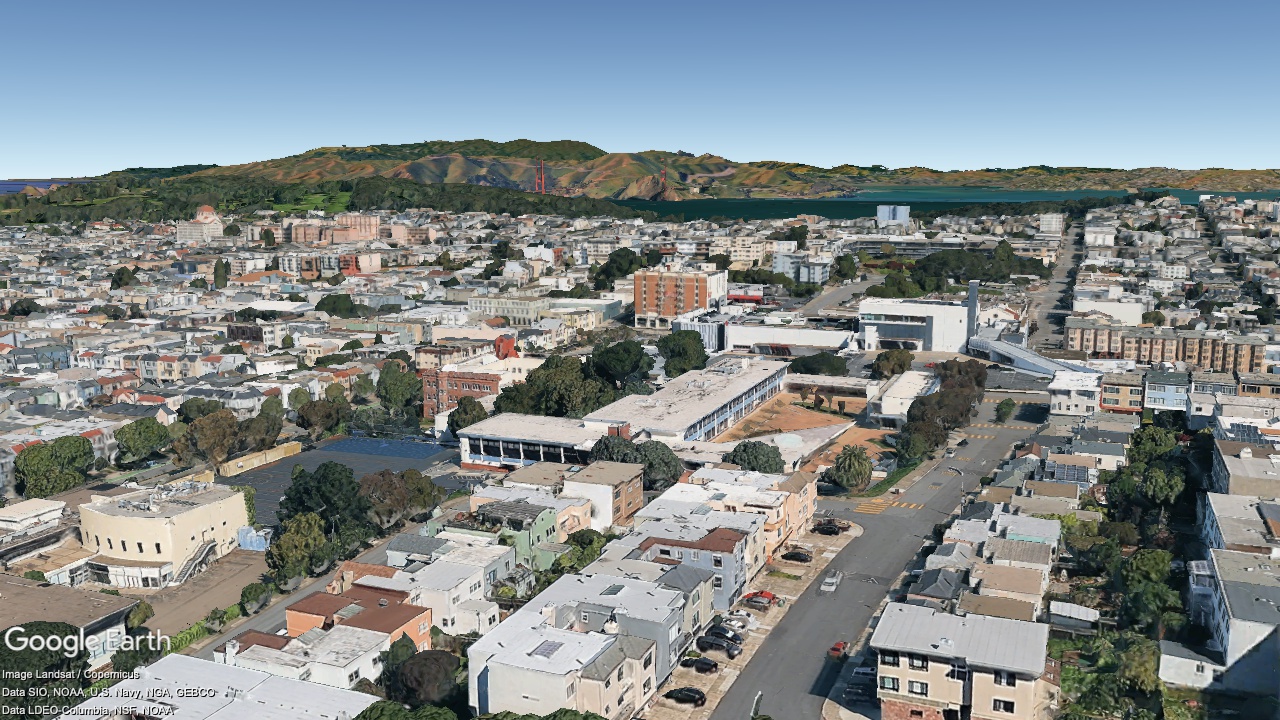
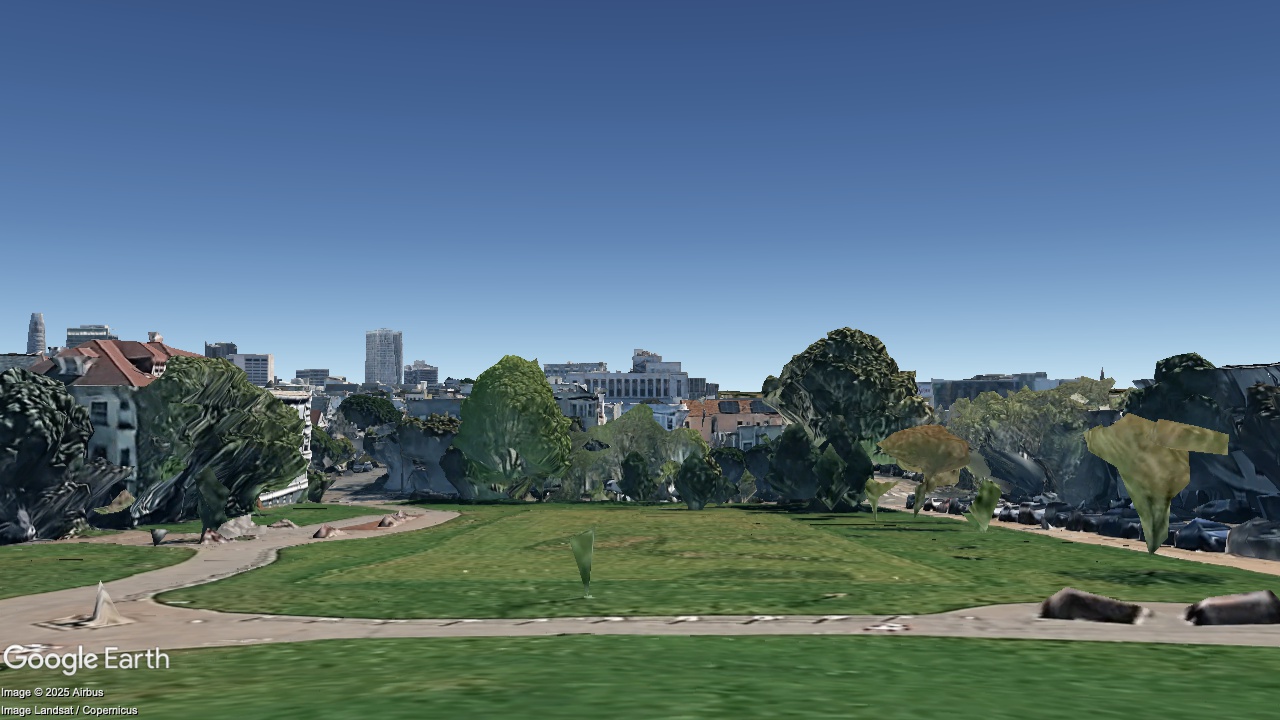
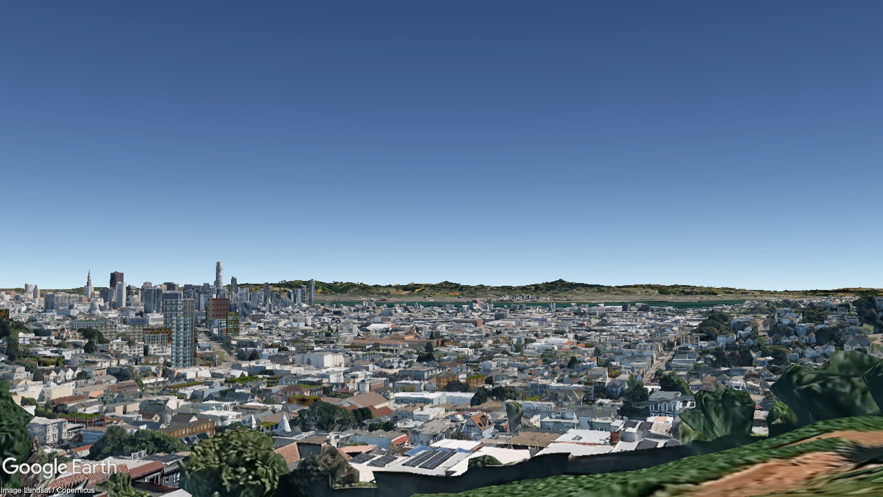
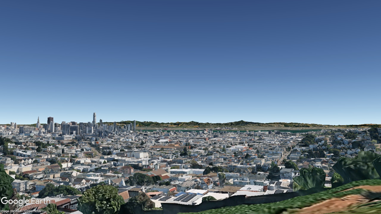
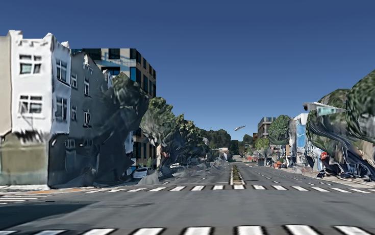
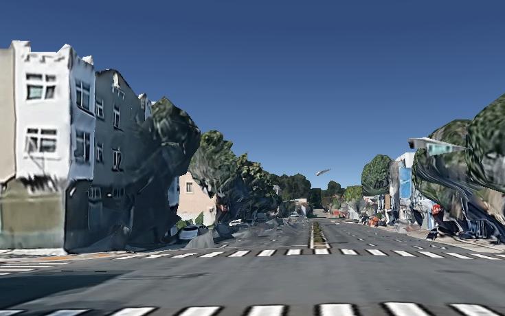
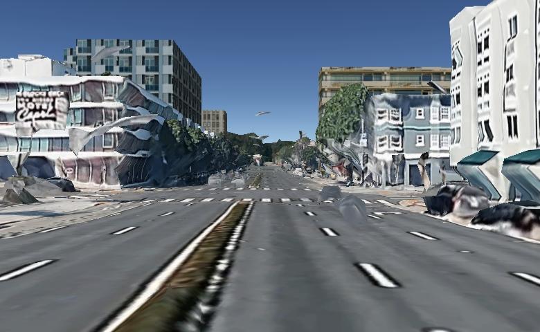
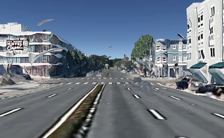
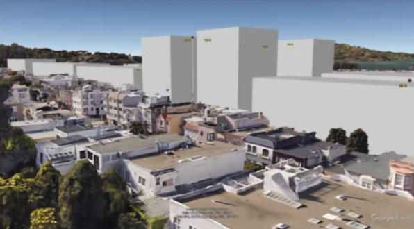
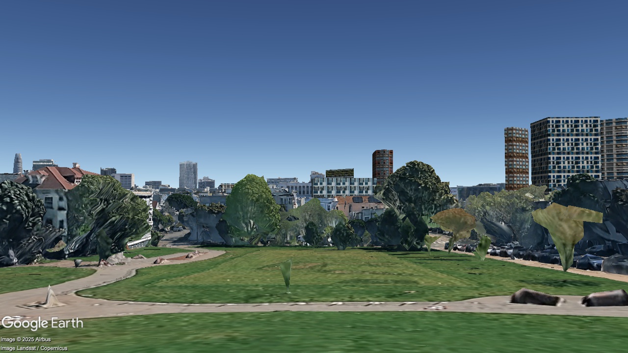
Duboce Park, looking East

2036
Now
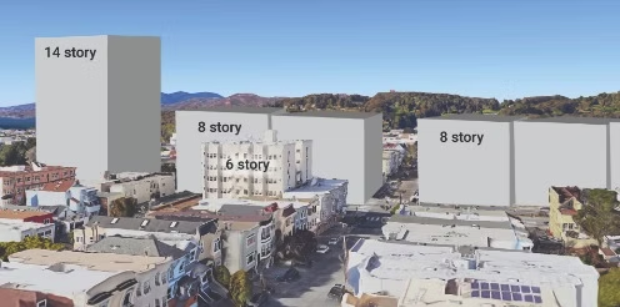
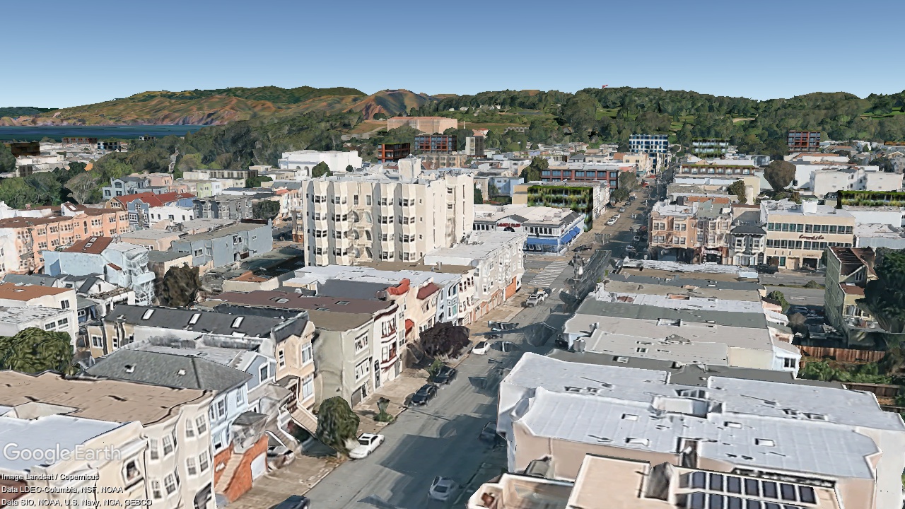
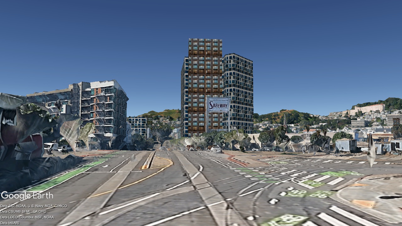
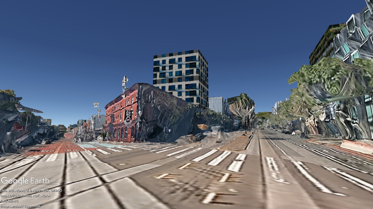
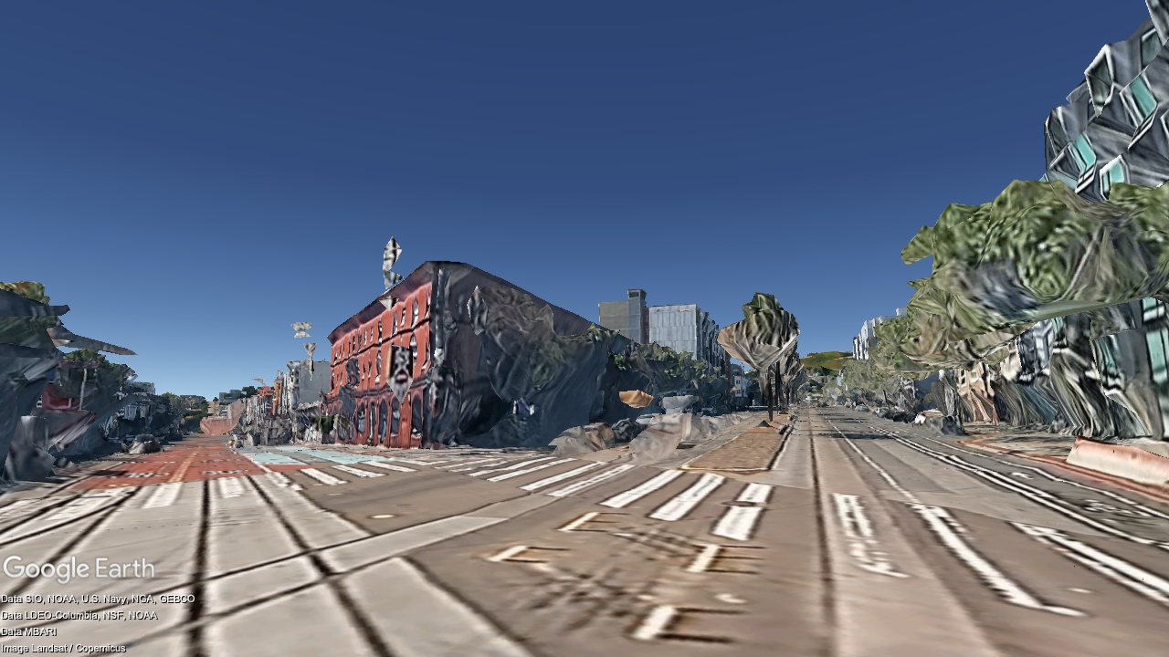
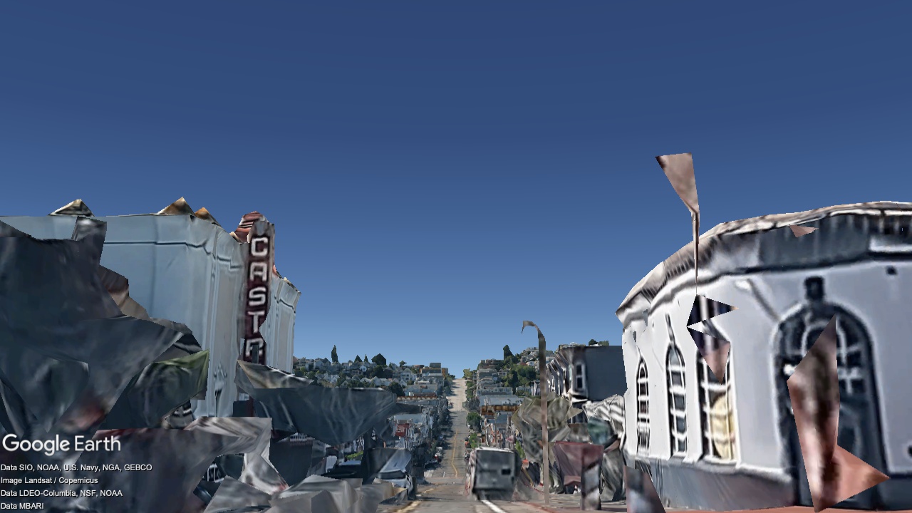
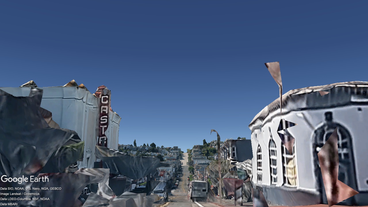
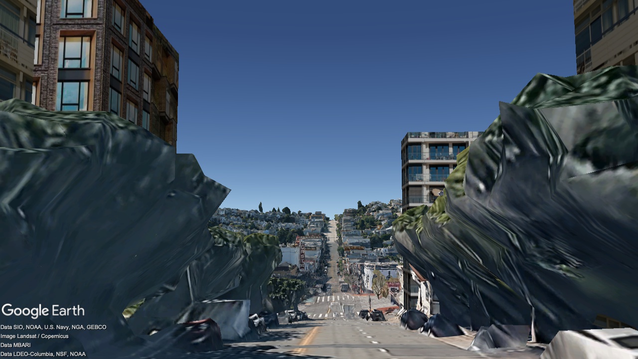
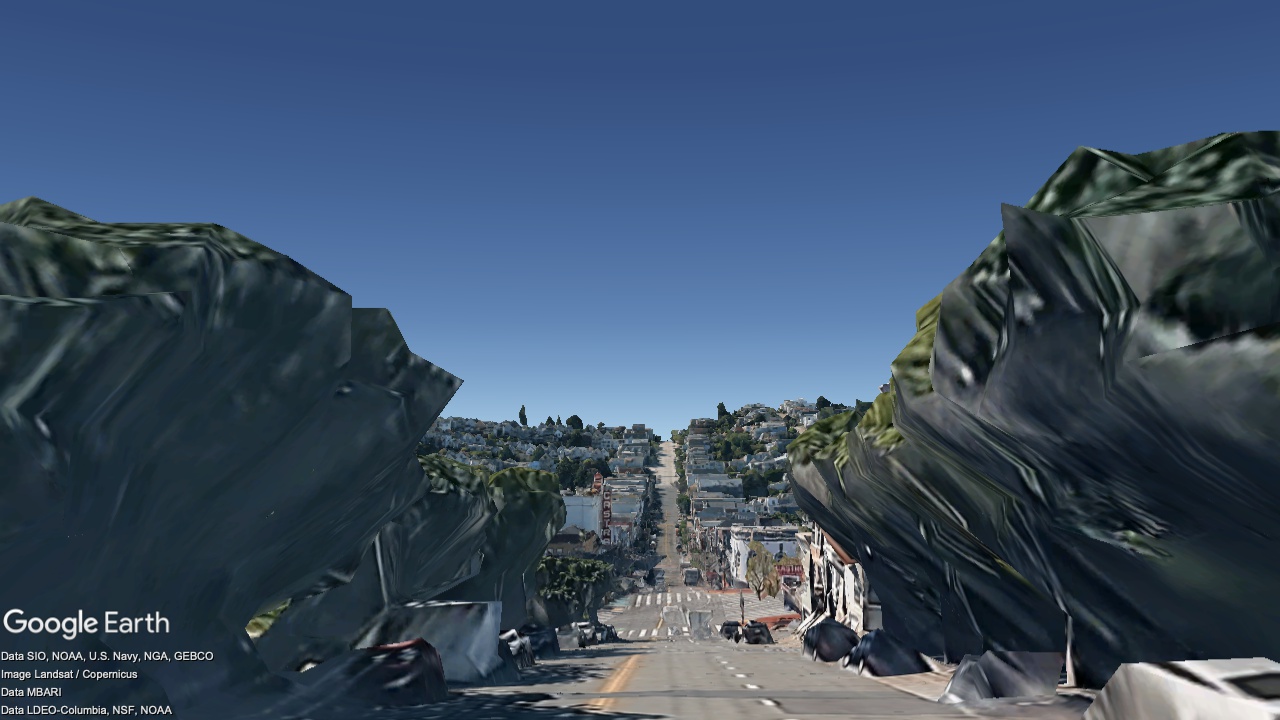
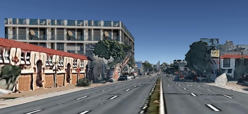
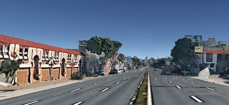
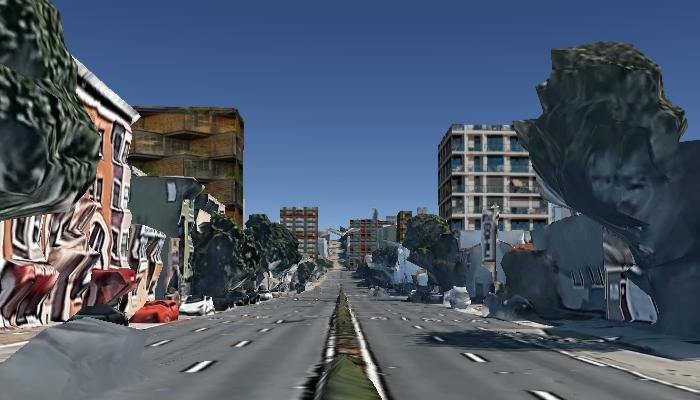
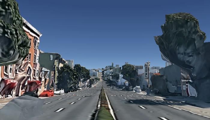
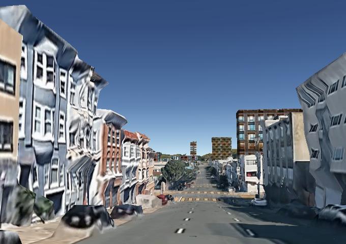
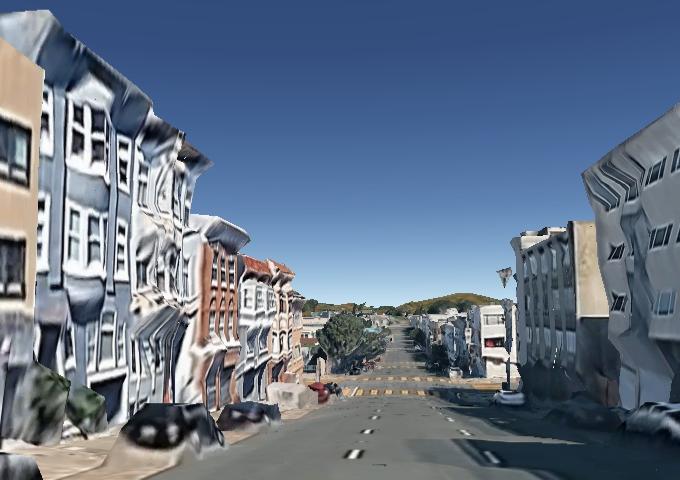
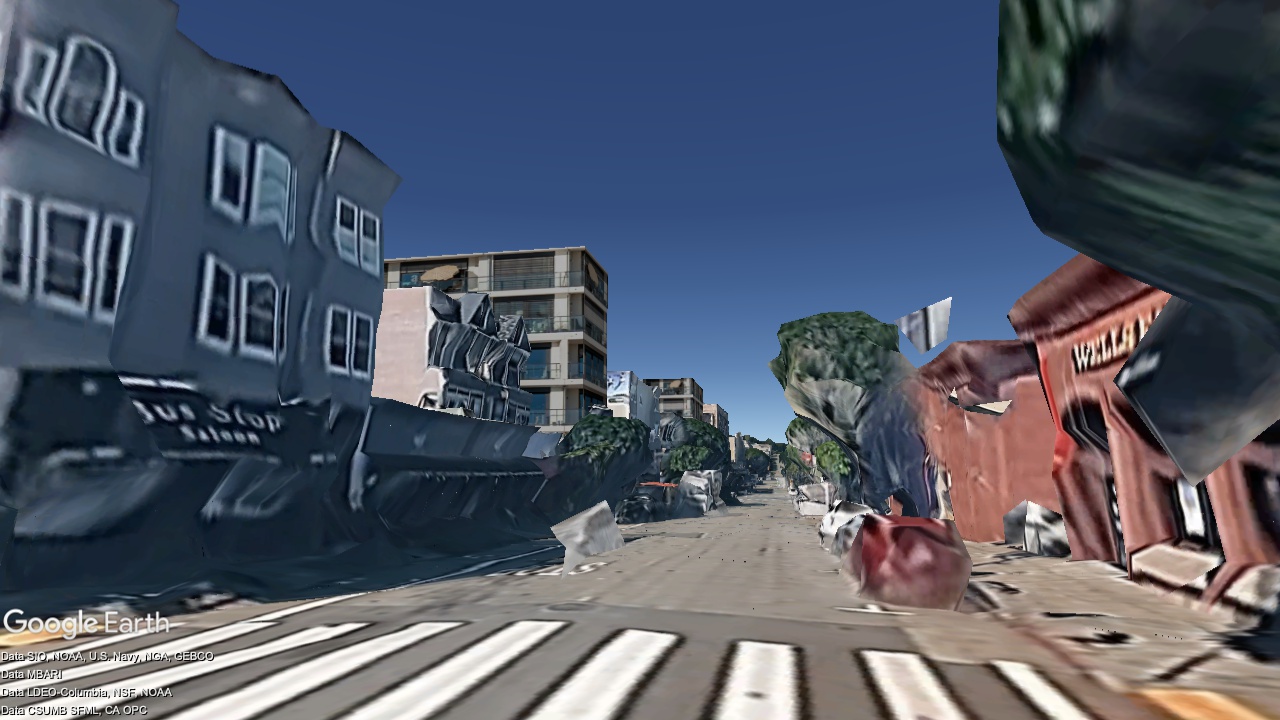
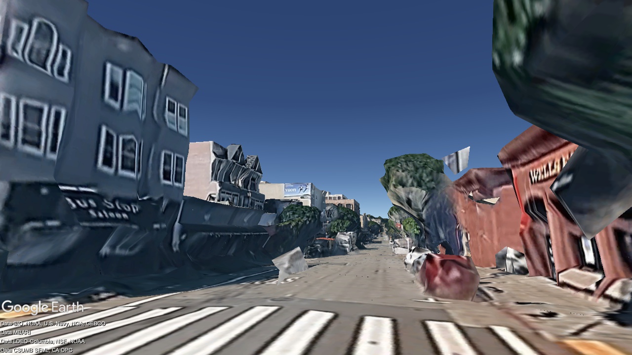
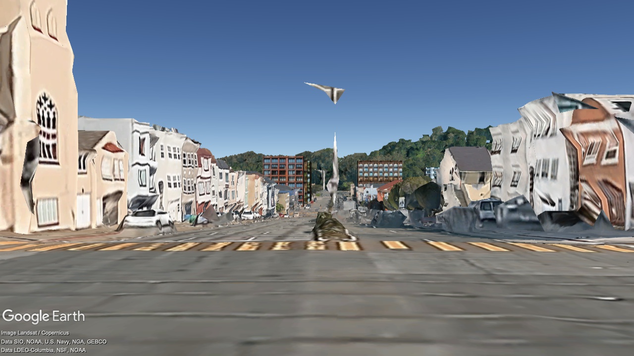
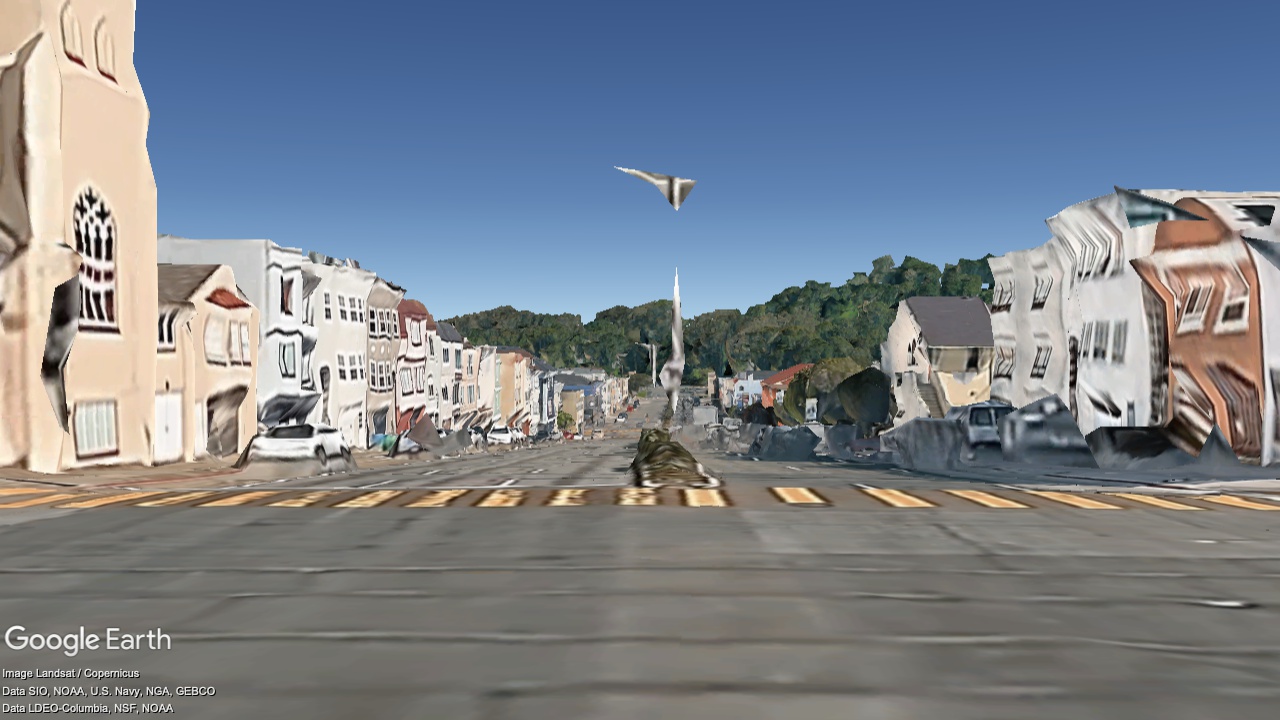
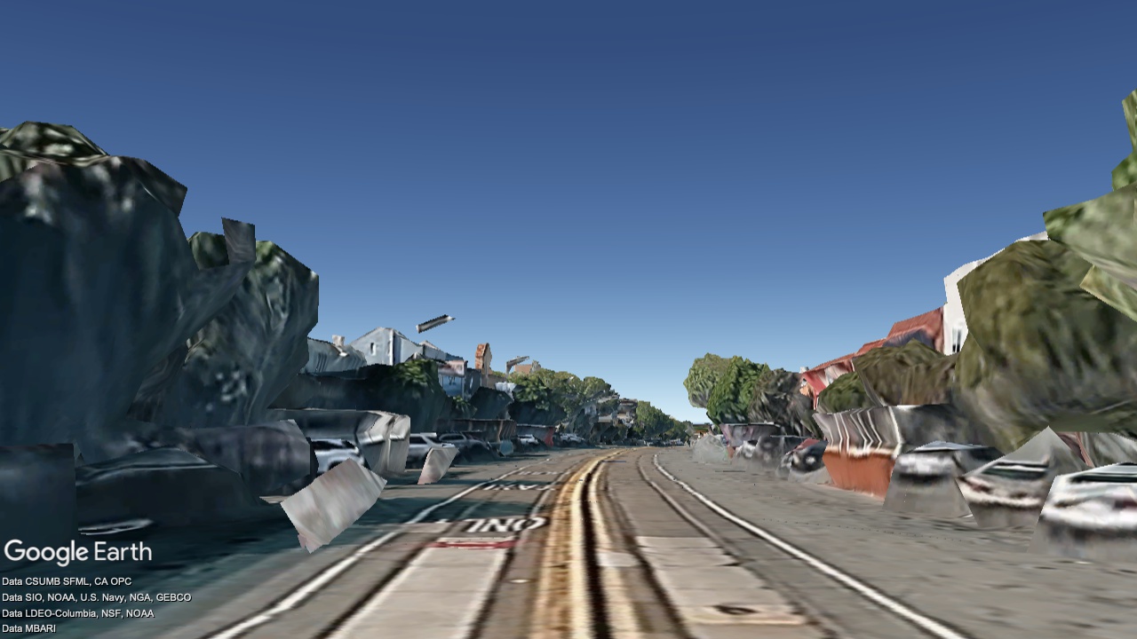
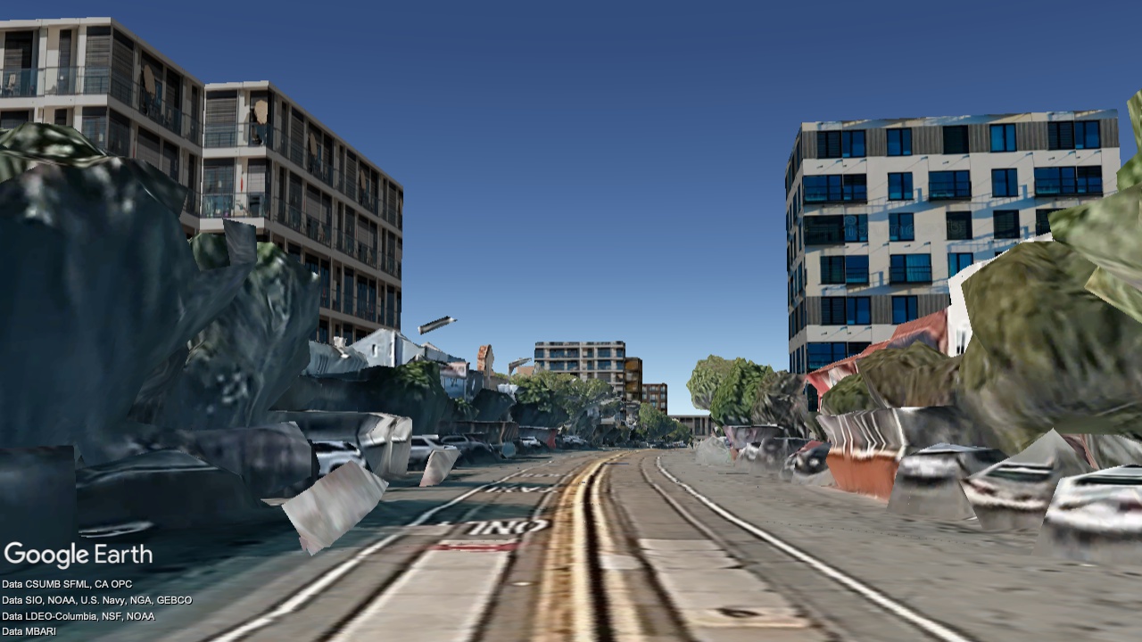
Duboce and Market, looking Southwest

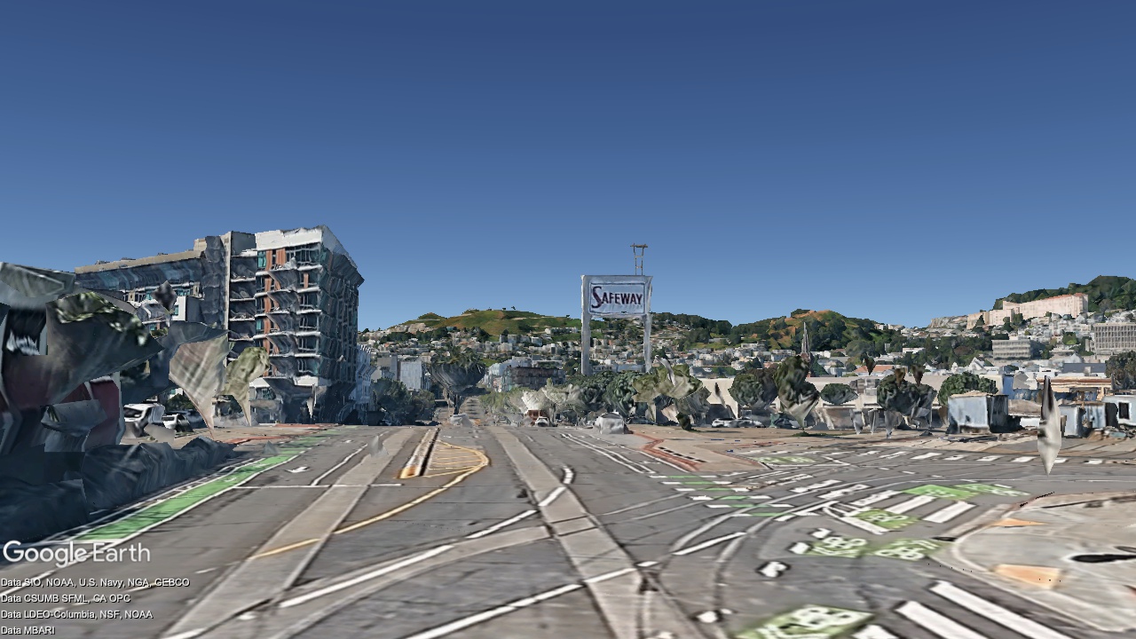
2036
Now
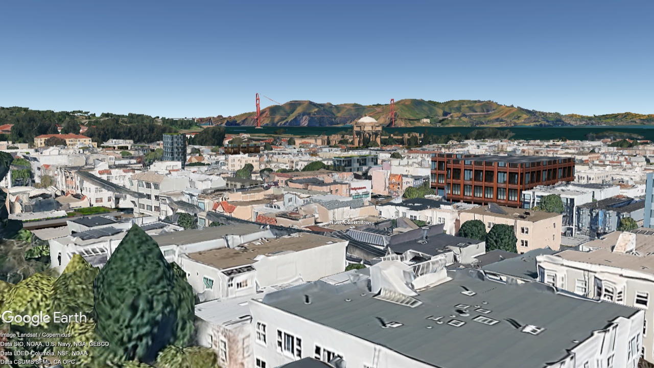
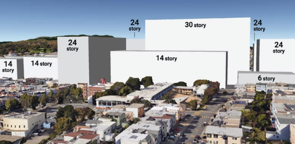
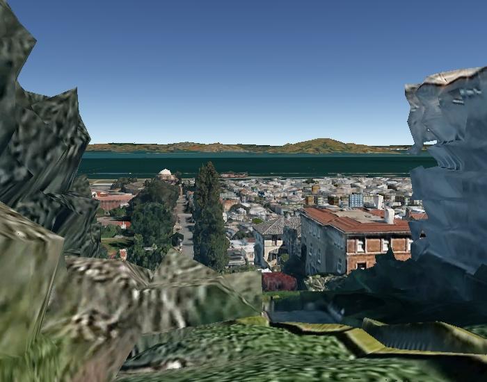
Marina Green, looking Southeast
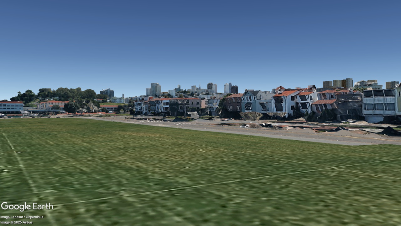
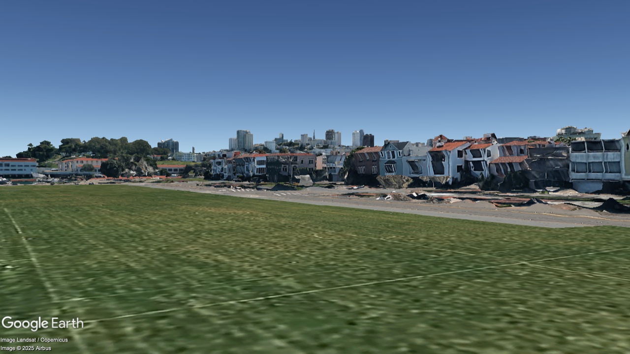
2036
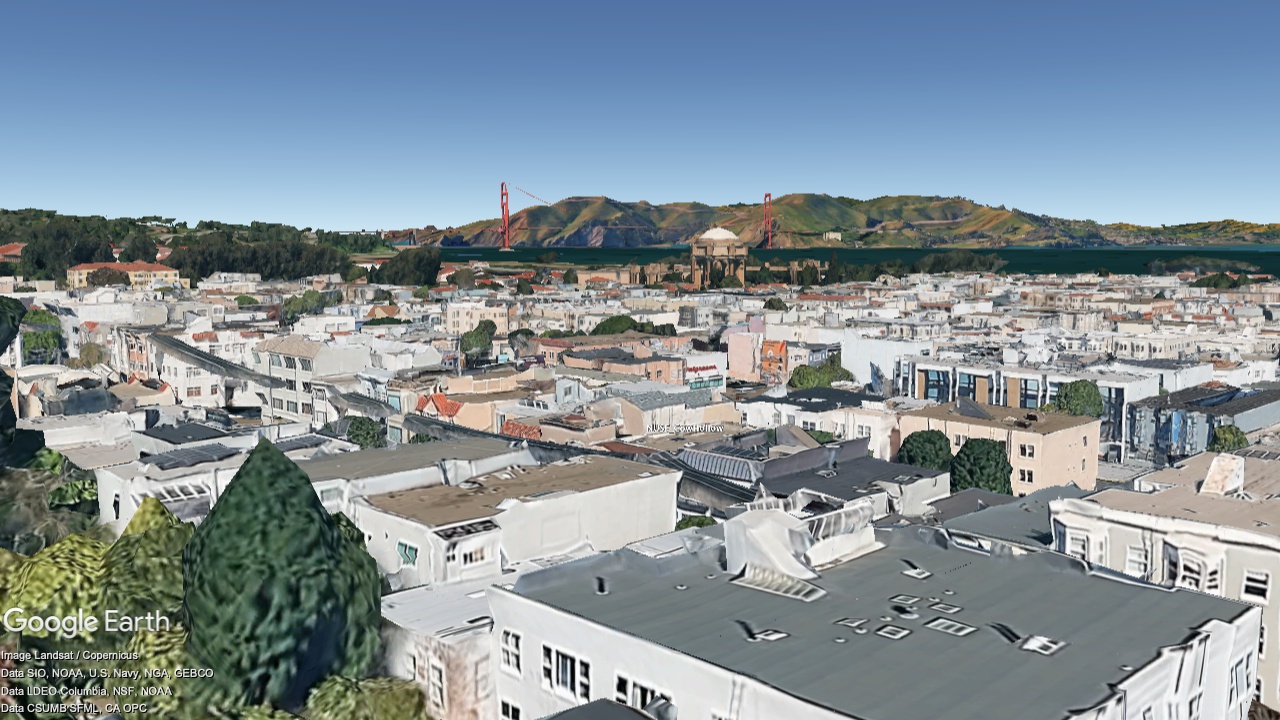
Now
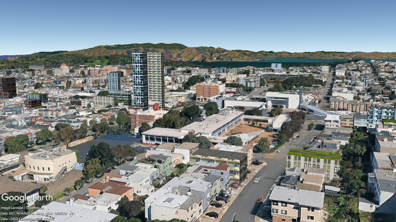
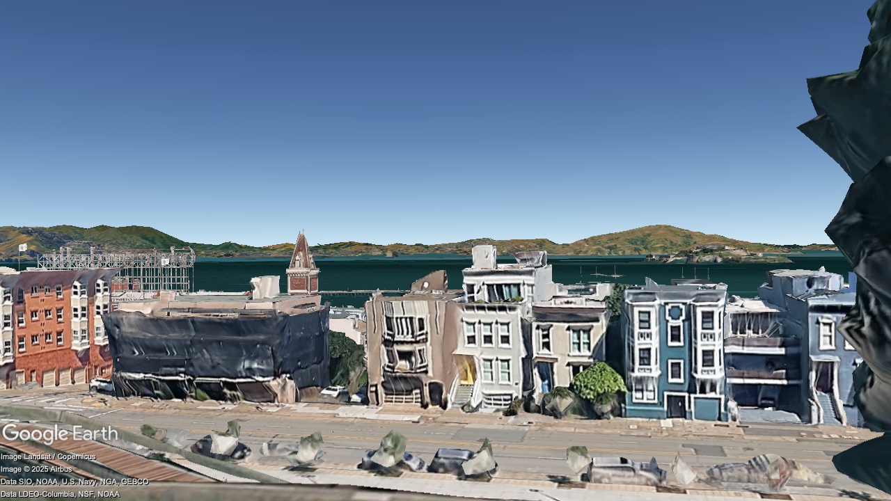
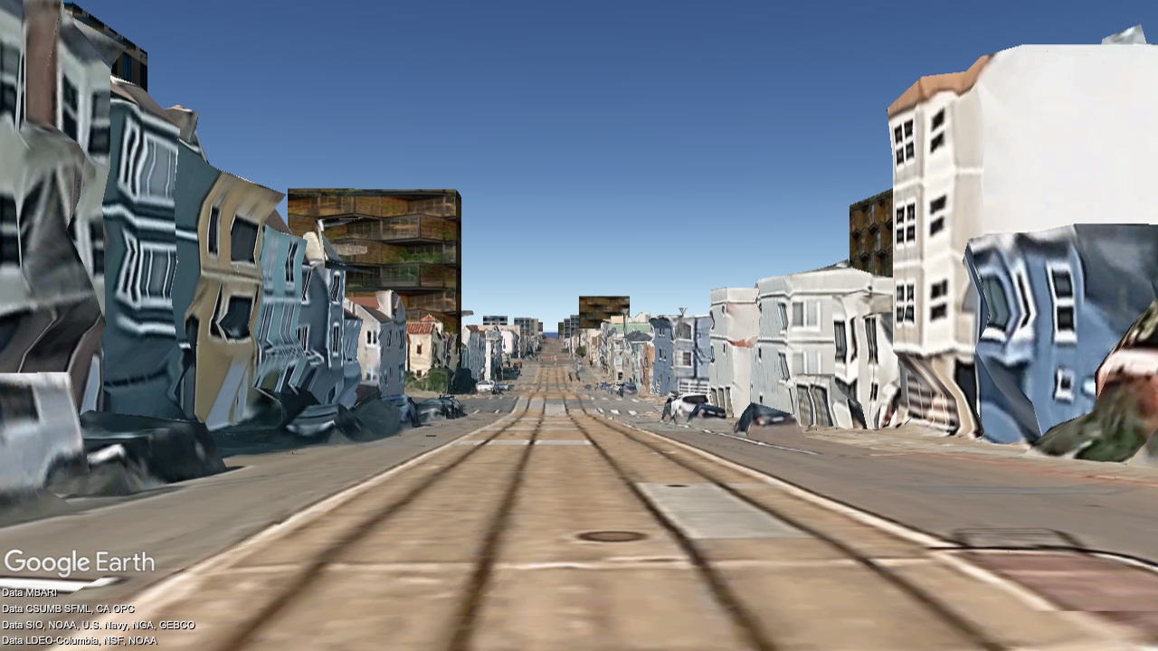
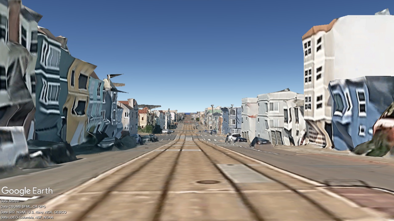
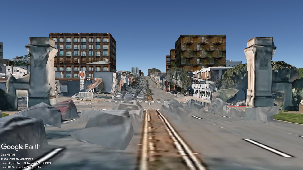
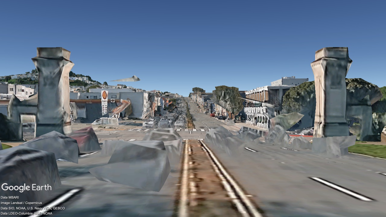
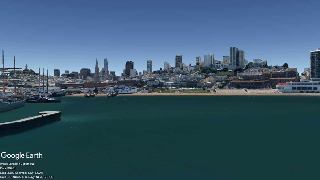
Maritime Park, looking South
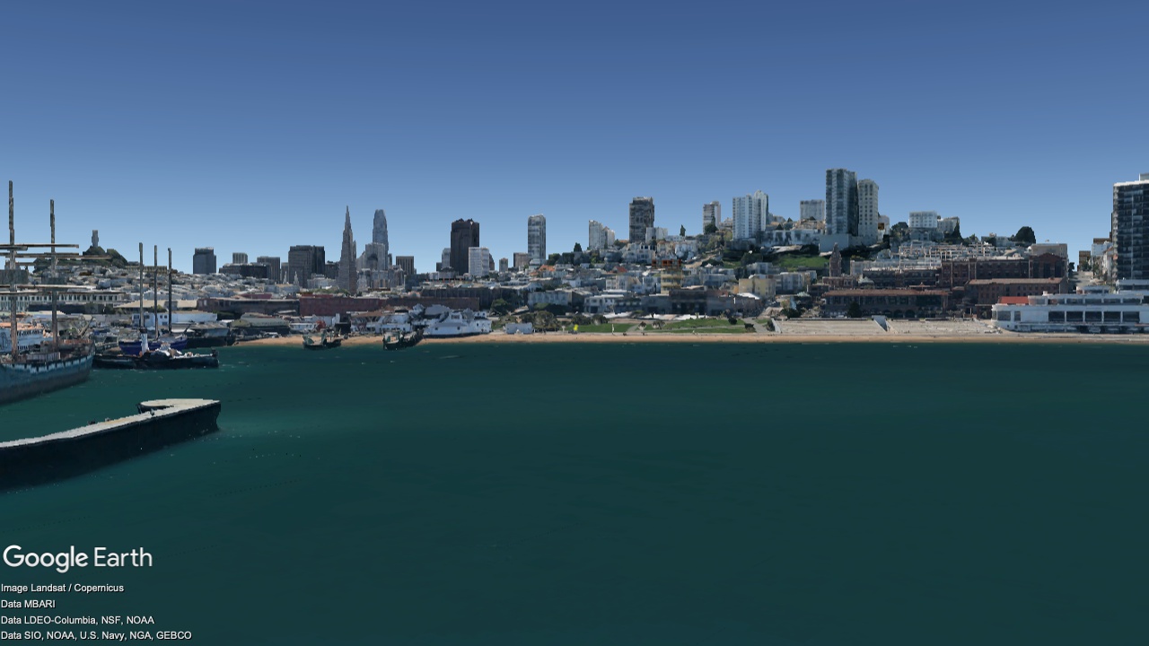
2036
Now
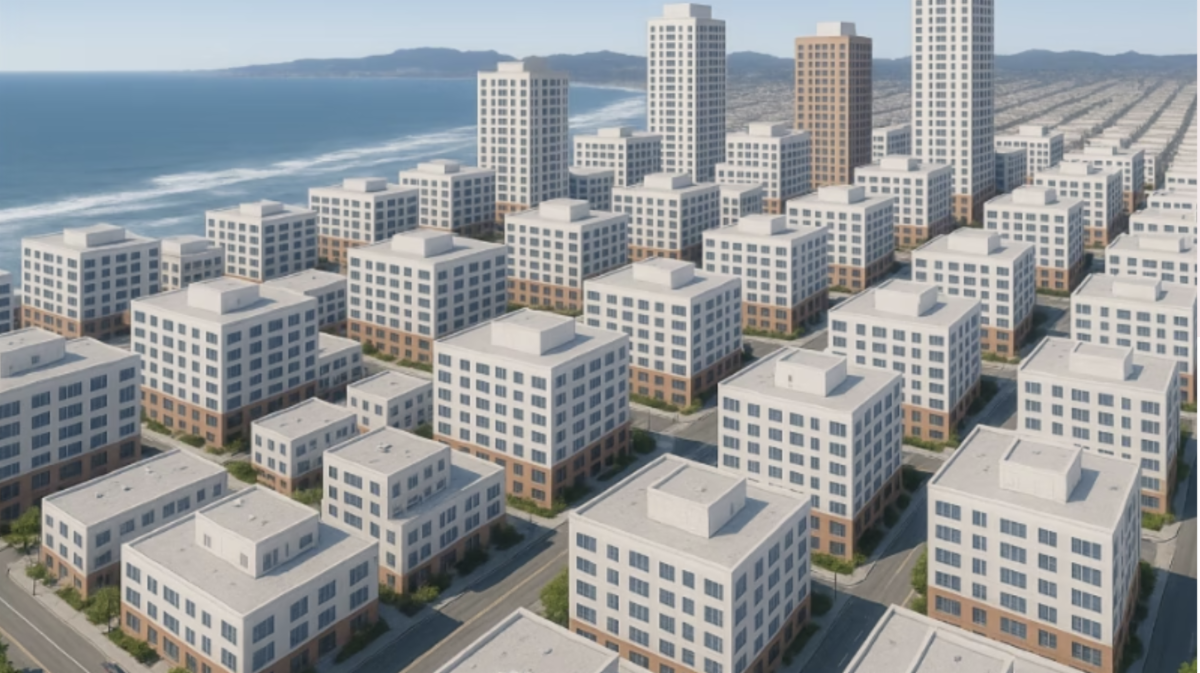
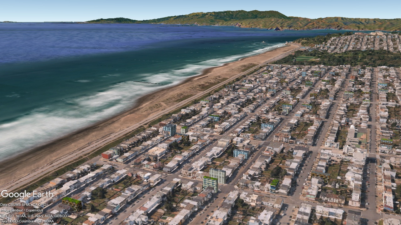
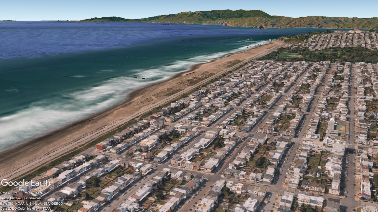
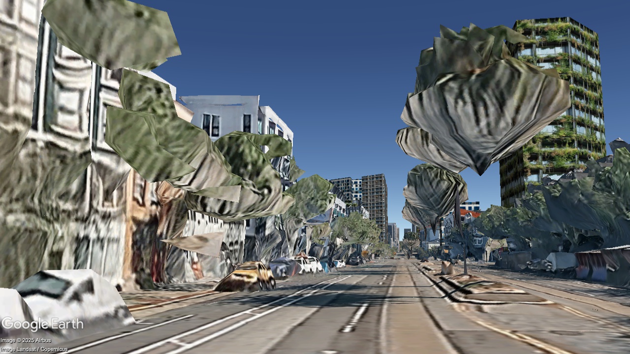
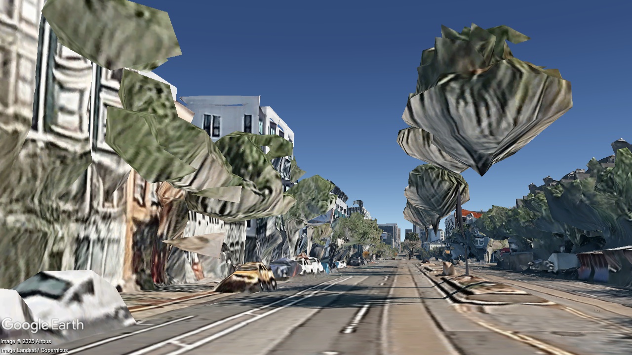
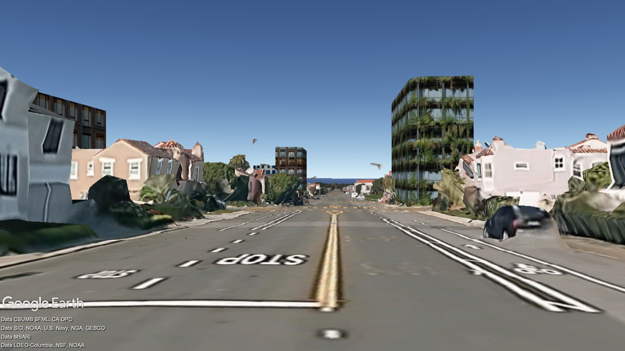
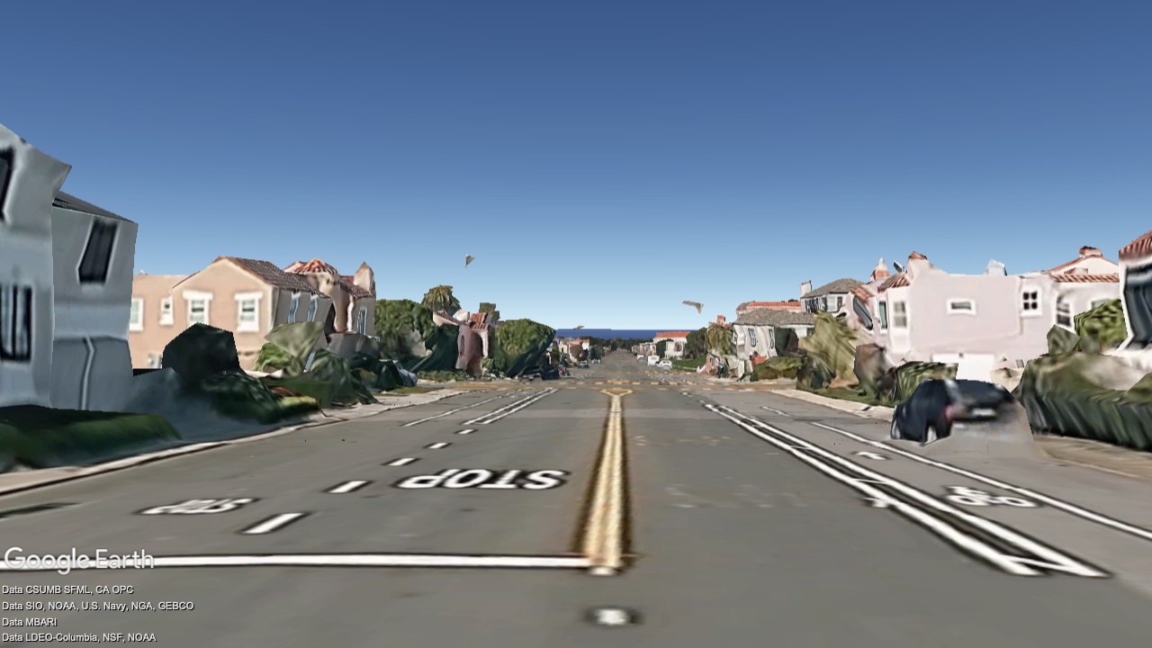
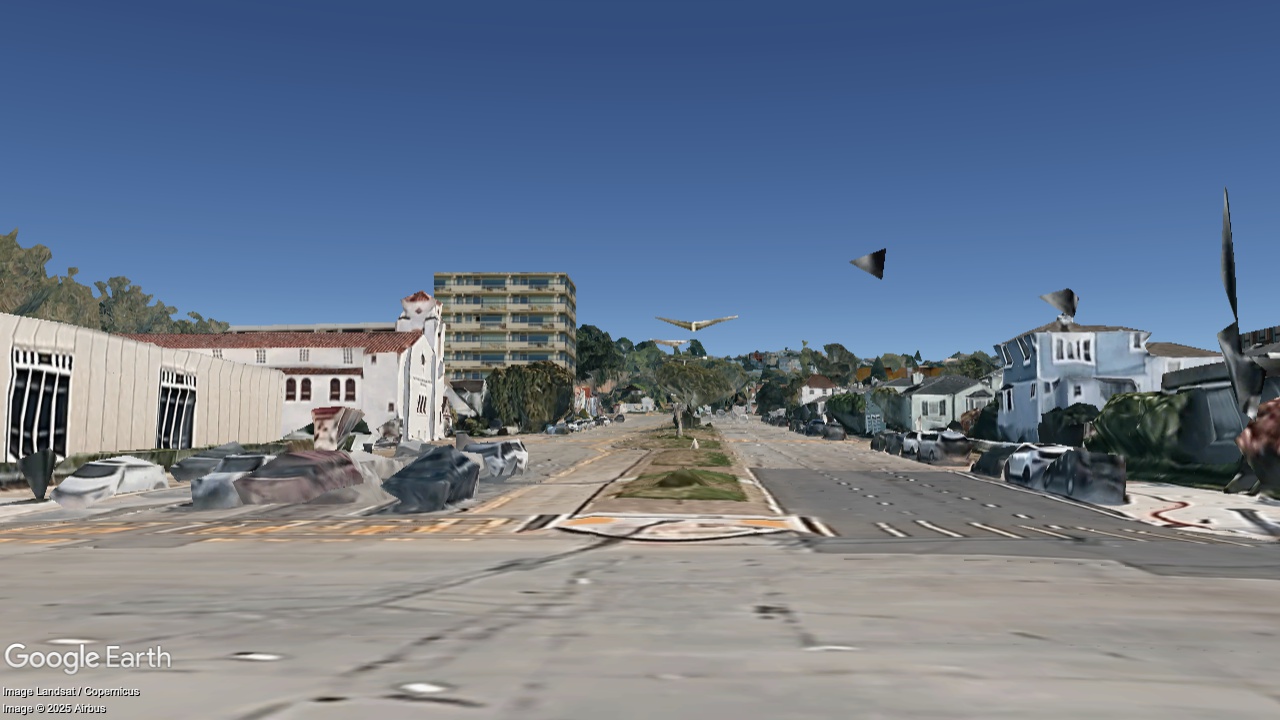
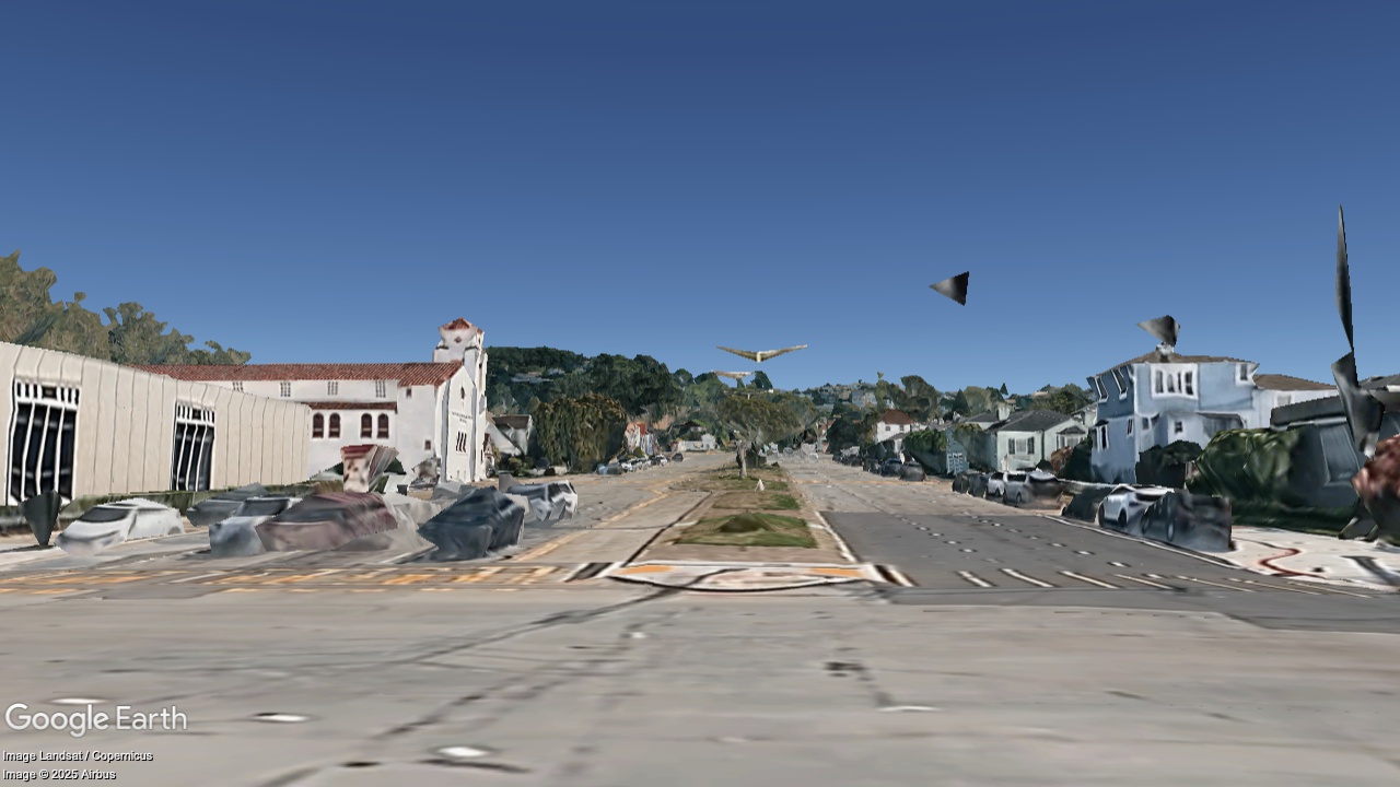
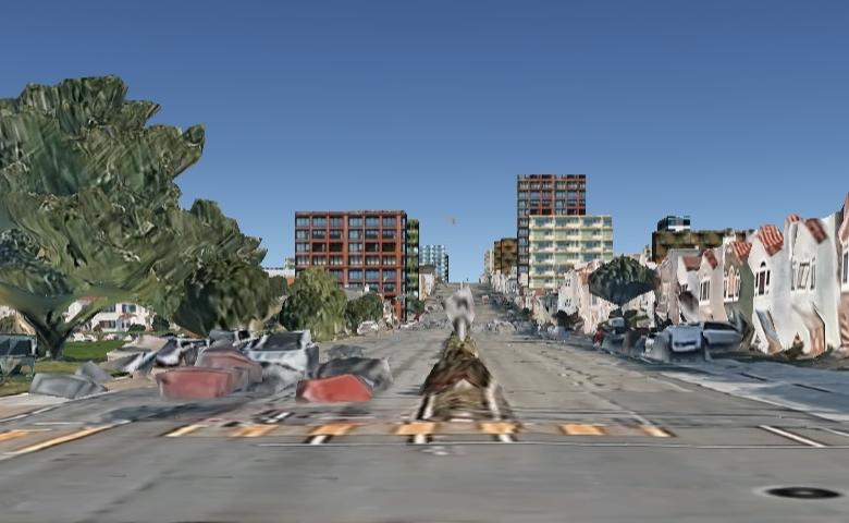
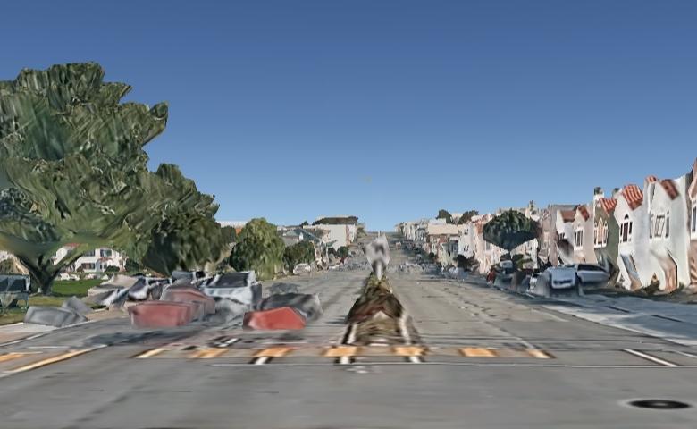
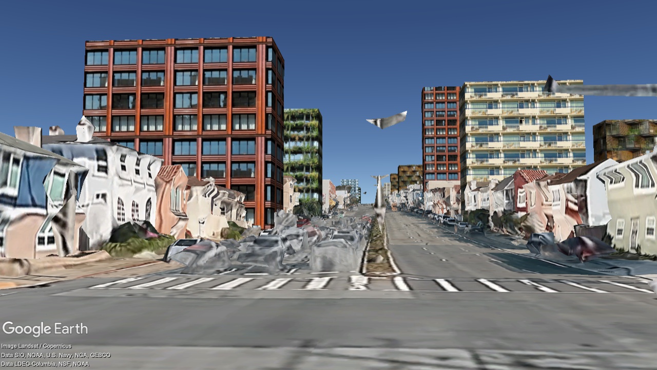
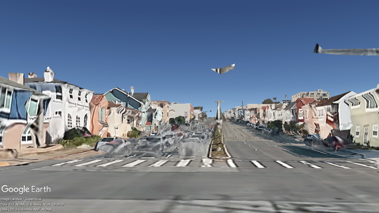
Sunset Dunes, looking South
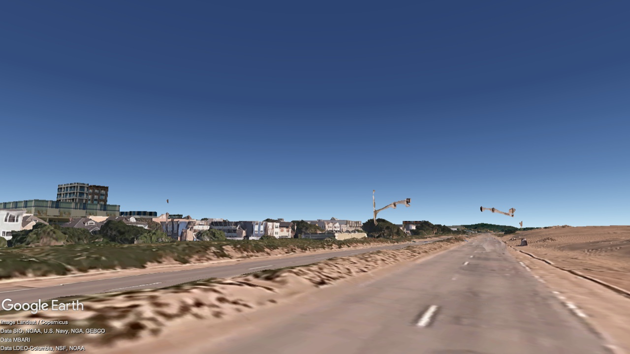
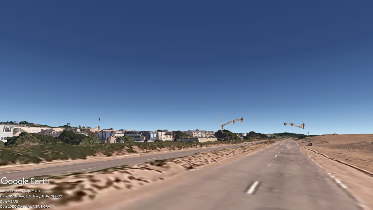
2036
Now